Beginner Trail Hirschegg - Mittelberg
Tour description
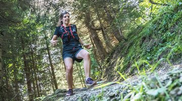
Scenic Trail Running Loop from Hirschegg via Letze, Mittelberg & BödmenThis varied trail running loop with several moderate ascents and descents starts in Hirschegg, heading downhill to join the Breitach Trail. The cool, shaded path runs on fine gravel with barely any elevation gain until reaching the Letze district of Hirschegg.
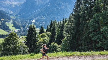
At the mineral spring, the route turns left and climbs gently toward the Walserstraße. Near the Hubertus lift, a short but steeper uphill section on asphalt leads toward the Rohrweg. Passing by Rohrsee, the trail continues onto a singletrack path weaving between forest and open meadow sections.
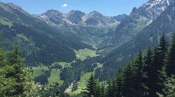
At elevation, runners are rewarded with panoramic views into the Wilden Valley and Gemstel Valley, framed by the alpine peaks of the surrounding mountains. The Mittelberg High Trail then merges onto a narrow paved road, which descends more steeply into the village of Mittelberg.
From there, the route continues past the music pavilion, through Bödmen, and returns via the Breitach Trail and Dürenboden to the starting point in Hirschegg.
Hirschegg
Mittelberg
Route description
Recommended equipment
140 Alpine Emergencies Austria wide
144 Alpine Emergencies Vorarlberg
112 Euro-Emergencies (works with every mobile network)
Weather-appropriate trail running gearFurther info & links
Tips
This trail running route is ideal for a late afternoon workout on hot summer days, as most of the route is already in the shade by then.Further links
Nature experience map, scale 1:12,000; Kleinwalsertal tour map (with hiking guide), scale 1:25,000; DAV hiking map, scale 1:25,000; the respective cards are available for a fee in the Walserhaus Hirschegg.

